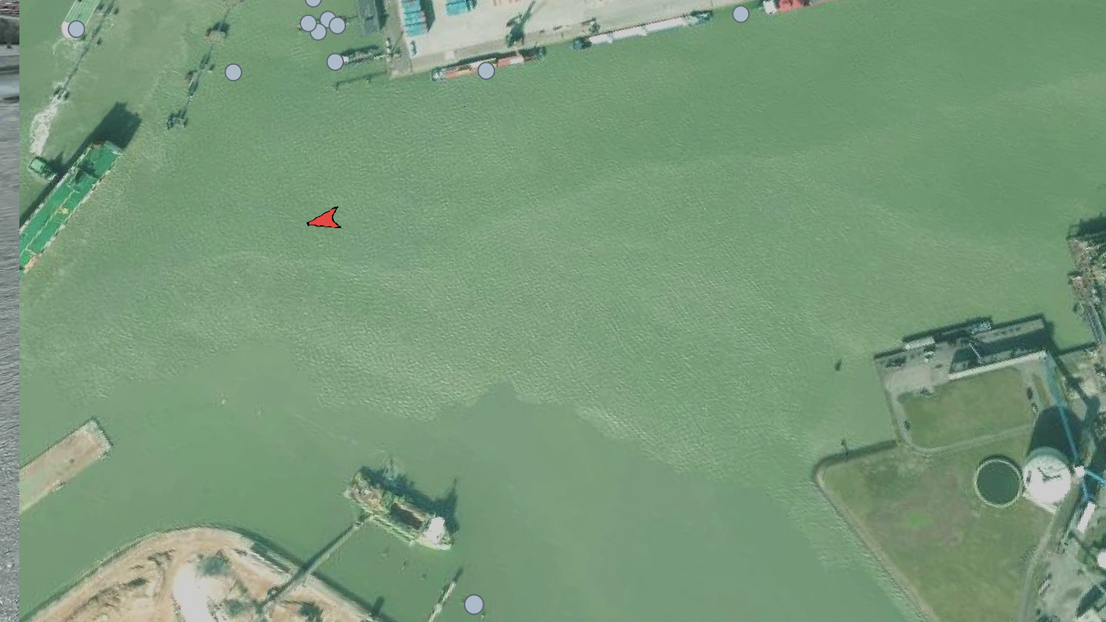
UAIS gives you four core tools to turn the map into answers — define any area, trace any vessel, and find what you're looking for in seconds.
Learn more ↓Mark an area in one click.
Trace any exact shape.
Follow a vessel's path.
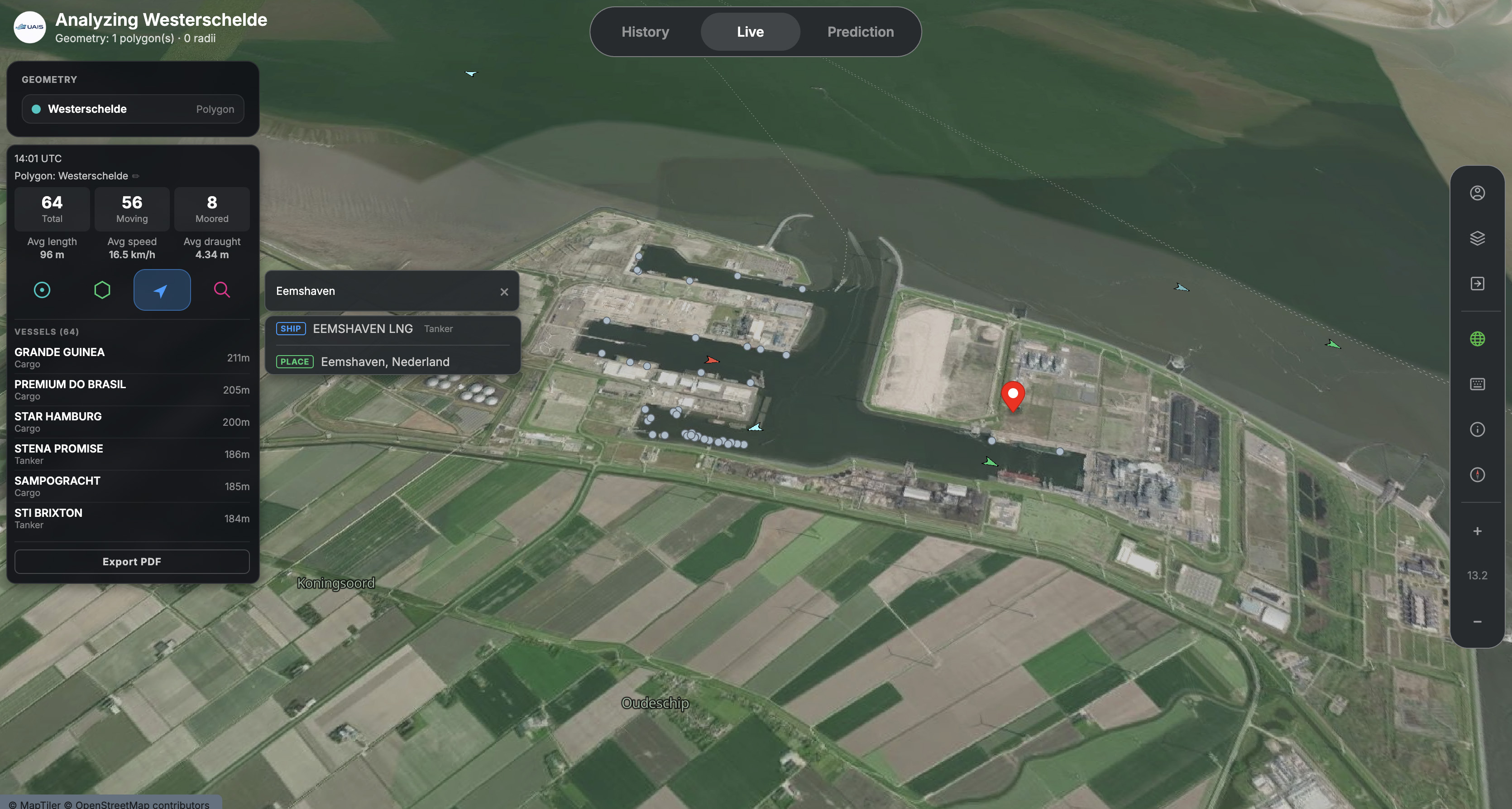
Jump straight to a spot or vessel.
Everything you need to mark an area, follow a vessel and navigate quickly — all reachable with a single key.
Click a point and drag out a circle to mark an area of interest in one move.
Draw any irregular shape point by point — locks, bends, ferry banks.
Click a vessel to reveal its path across the map, in Live or History.
Type the name of an area or location and jump straight to it.
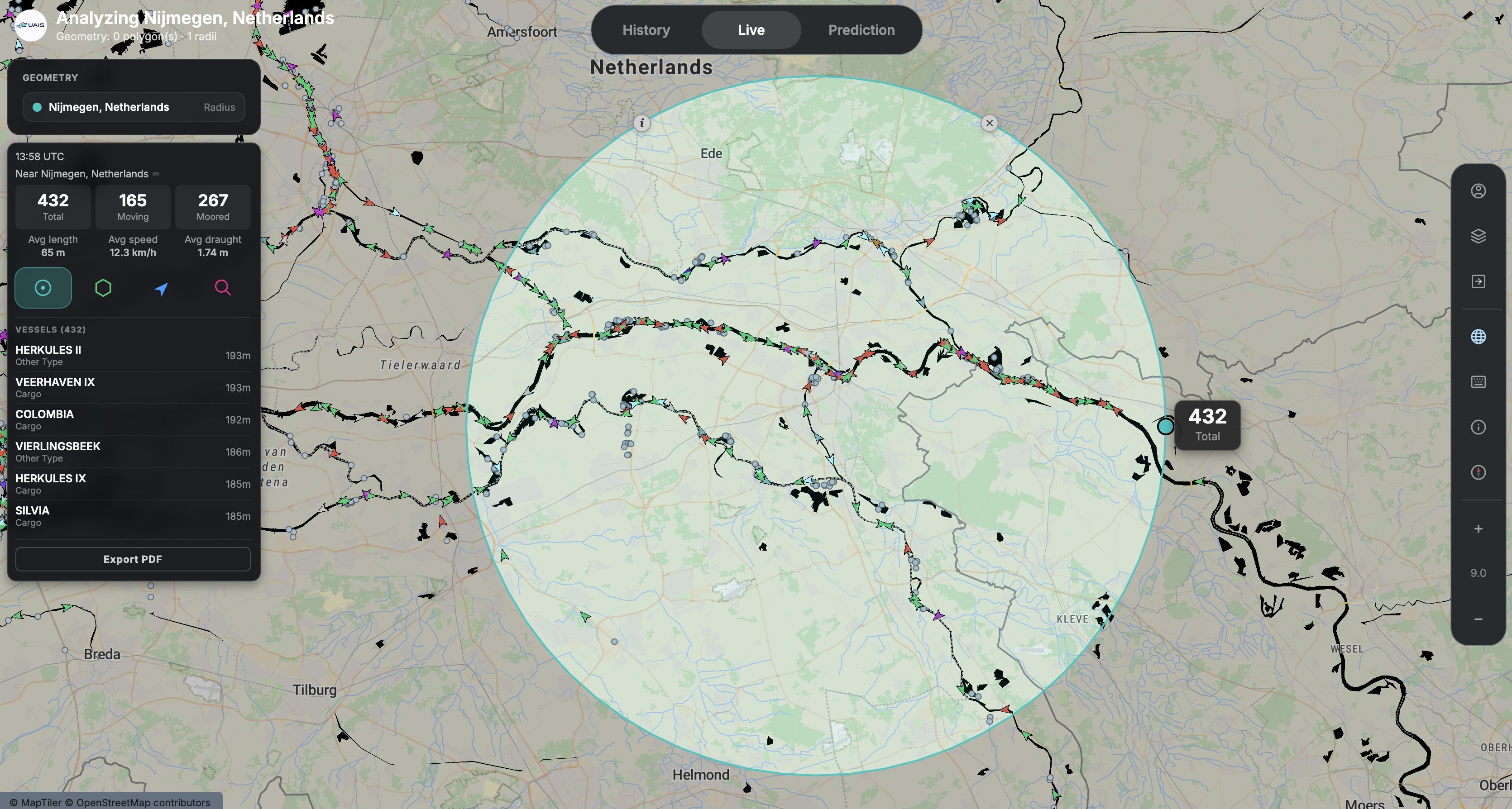
Press R, click a point on the map and drag out a circle. Radius mode is the fastest way to mark an area of interest — a buoy, a berth, a junction — and immediately see which vessels fall inside.
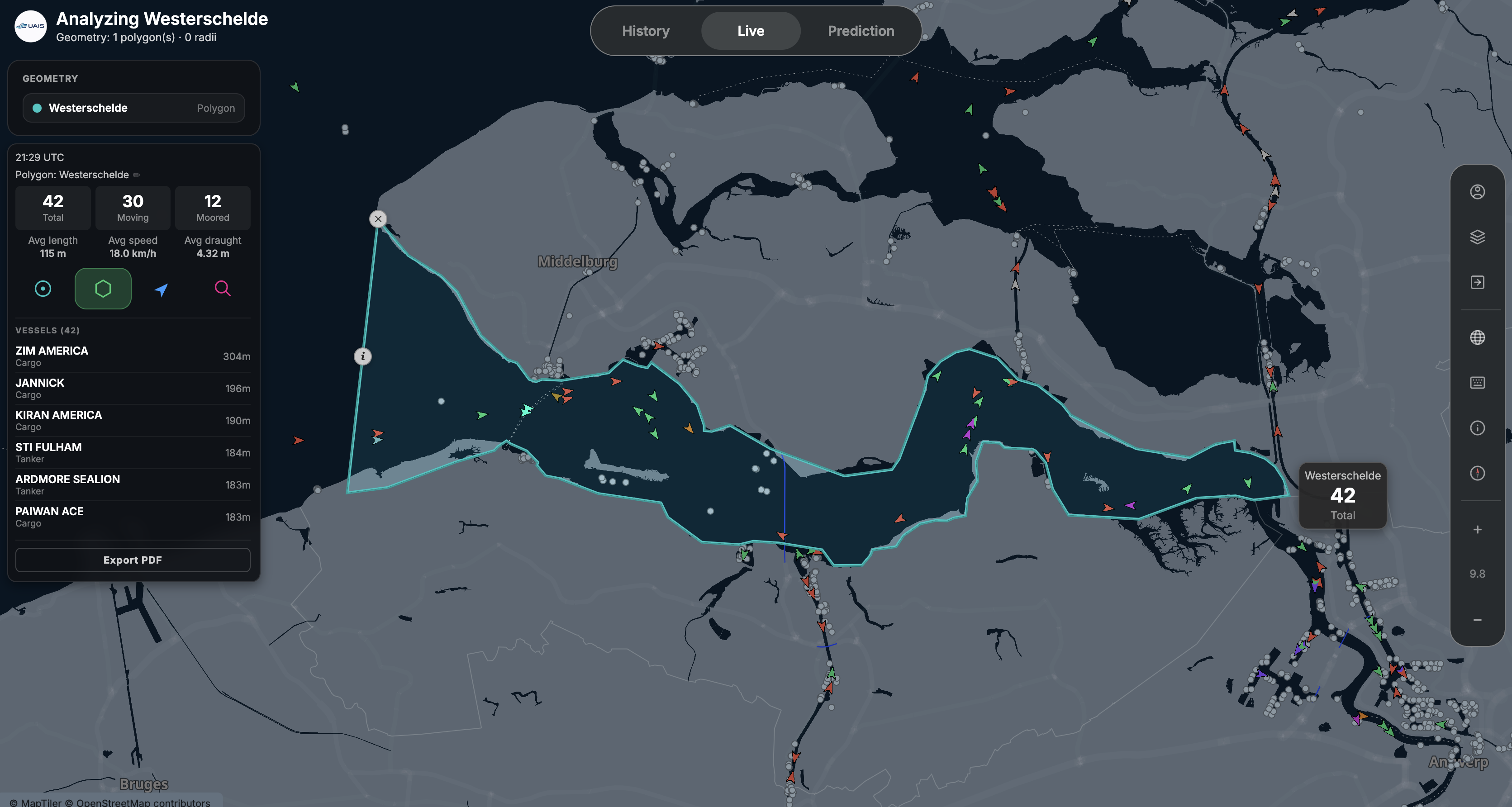
When a circle won't do, press P and click point by point to draw a precise polygon. Ideal for irregular shapes — a lock chamber, a river bend, or one bank of a ferry route.
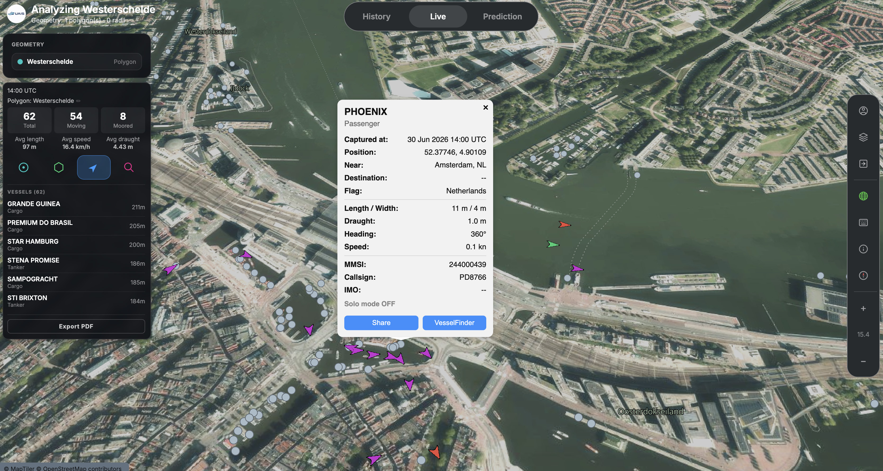
Press V and click a vessel to reveal its track across the map. See exactly where a ship came from and where it's heading — useful for understanding a route, a delay, or unusual behaviour.
Press / to open search and type the name of an area or location. UAIS takes you there instantly — no panning or zooming around the map.
R, P, V and / are all single keys. Press S at any time to see the full list of keyboard shortcuts.
Draw an area with Radius or Polygon, then use Vessel track to see exactly who moved through it.
Keep radii and polygons close to the real feature. A shape that is too wide picks up passing traffic.
On a busy map, search is almost always faster than panning and zooming to find a location.
Open UAIS and start drawing — Live mode is free to use.